Monte Santo António

Monte Santo António
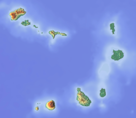
southeastern Boa Vista
Monte Santo António is a mountain in the southwestern part of the island Boa Vista in Cape Verde. At 379 m (1,243 ft) elevation,[1] it is the island's second highest point. Like Rocha Estância and Monte Estância, it rises steeply from the surrounding plains. It is part of a protected natural area under the statute of natural monument,[2] covering 459 hectares (1,130 acres).[1][3]

See also
References
External links
Wikimedia Commons has media related to Pico do Santo António.
- v
- t
- e
The island of Boa Vista
- Bofarreira
- Estância de Baixo
- Povoação Velha
- Rabil
- Sal Rei

- Cabeça dos Tarrafes
- Fundo das Figueiras
- João Galego
- Monte Caçador and Pico Forcado
- Monte Estância
- Rocha Estância
- Morro de Areia
- Morro Negro
- Monte Santo António
- Monte Vigia
- Ilhéu de Baluarte
- Ilhéu de Curral Velho
- Ilhéu Derrubado
- Ilhéu dos Pássaros
- Ilhéu de Sal Rei
 Category
 Commons

 | This Cape Verdean location article is a stub. You can help Wikipedia by expanding it. |
- v
- t
- e


